Topographical Land Survey Services
Call: 020 72 78 07 78
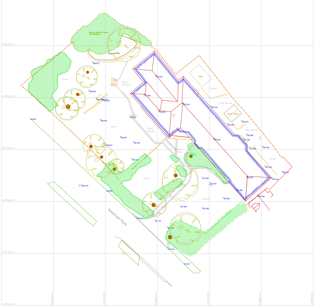
Topographic Land Surveys, Subsurface GPR Utility Scans, Surface 3D Elevation Scans, Floor Plans, Cross sections, and Roof plans are all ways we produce building information modelling (BIM) measured survey data.
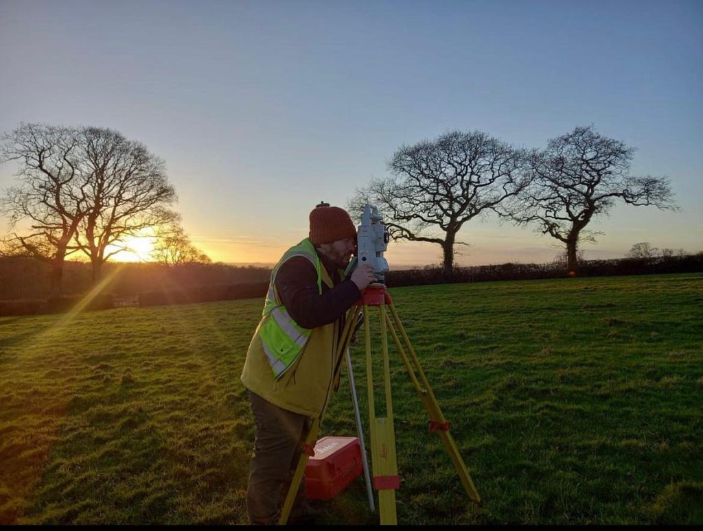
As map surveyors we use a range of measured building survey techniques. The chosen techniques usually depends on whether you are carrying out building refurbishments, right of light planning applications, historic building records, geodesic stockpile volumes or new-build phased handover validation reports. Our dimensionally accurate, laser guided surveys can be carried out before, during, or after a construction project is completed.
As London based land surveyors, we can provide a measured survey price for a range of land survey services. Whether it is a simple as built plan, a GPS land survey or a full measured building survey, our topographic land maps and as built drawings are bespoke enough to suit a range of client needs.
Land Measurement Services – Before a development starts
Before your project starts, our topographic land surveyors often produce a GPS survey of the local area. These topographic land surveys help developers, architects and planners ensure that their designs are to best-fit scale.
Land Measurement Services – During construction
During construction, contractors often use our as-built surveys to check against and verify measured works. As built drawings are delivered in a range of formats and produced in-house by a dedicated GIS surveyor.
Land Measurement Services – After practical completion
After the practical completion of your project, developers and landowners often use our measured surveys both to update land registry and for record keeping purposes.
Post-construction surveys include built up area (BUA) surveys, gross floor area (GFA) surveys, and other forms of as-built survey report. Produced as 3D measured surveys, our as-built drawings are issued in DWG Cad and as flattened 2D PDF drawings as standard.
Land surveys London
We now have an online quoting service designed for land measurement service and land surveyor requests in London. These topographic map surveys and measured building surveys can also be booked in conjunction with our range of other services. These combination options include setting out, ground penetrating radar (GPR) surveys, structural design and structural movement monitoring.
To see our full range of measured building survey London based land survey prices, simply click on one of the measured building surveys price button option at the top of this page.
Alternatively, please feel free to call or email us now to find out more.